Cook Strait - Rainbow Bomb
$95.00
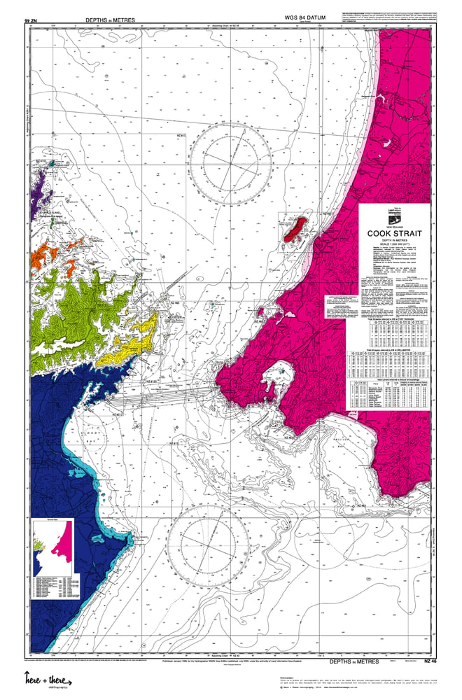
This is a limited edition 1 of 50 cARTographic print. Born from the official Land Information New Zealand navigational maps with Here + There's sense of fun and style.
The Area:
The Cook Strait including the greater Wellington area + Kapiti Coast from Foxton Beach to Cape Palliser, including Otaki, Waikanae and Porirua. As well as the top of the South Island with Blenheim, Queen Charlotte + Pelorus Sounds.
The Design:
The Rainbow bomb uses a bright rainbow of colours to highlight the different land masses on a white background. Simple but uber stylish. Perfect for adding a pop of bright colour to your decor.
The Details:
Your map comes in A1 size (840mm x 594mm), printed on quality thick 250gsm matt finish paper and is rolled up carefully in tissue paper for added protection and delivered securely in a durable tube. Which is also perfect for sending to someone as a gift!
The Delivery:
Your map will be dispatched within 3-7 working days of order being received, a signature for proof of delivery is required.
UNFRAMED
-
Pin it

