Auckland Harbour - Yellow Polka
$95.00
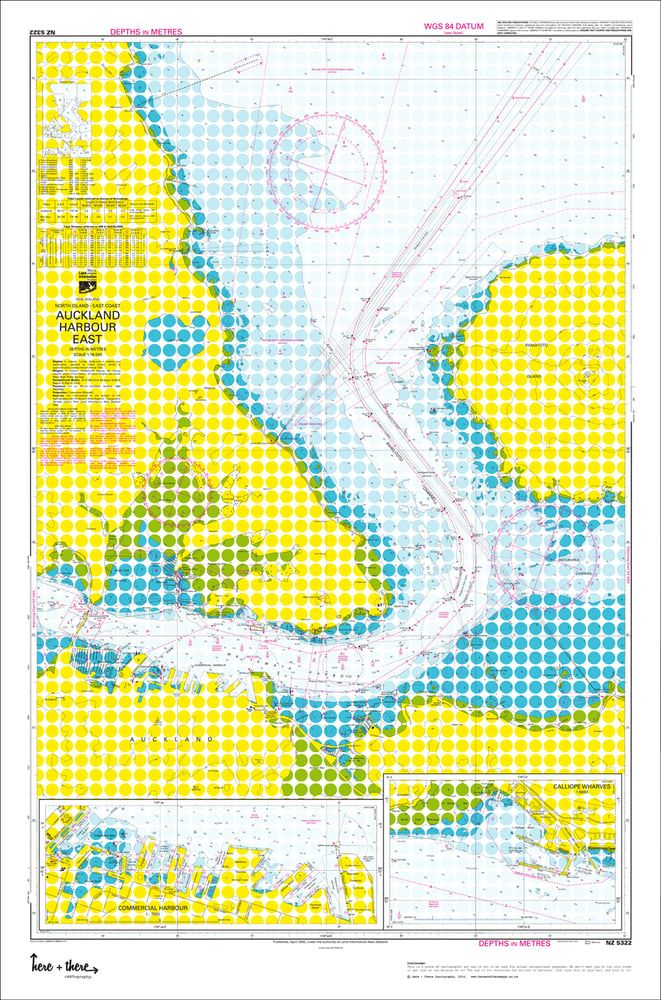
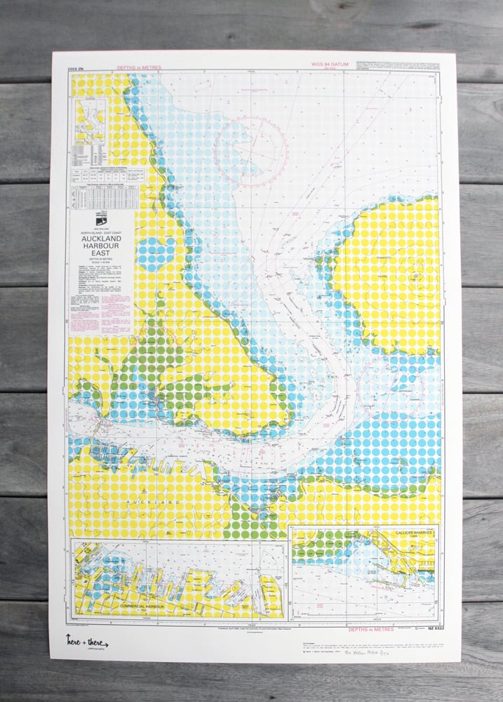
This is a limited edition 1 of 50 cARTographic print. Born from the official Land Information New Zealand navigational maps with Here + There's sense of fun and style.
The Design:
The Yellow Polka isn't itsy bitsy or teeny weeny. Bright yellow and blue polka dots highlight the land masses and sea depths with a pop of pink highlights on a white background. You'll want to proudly show this off in your pool room.
The Area:
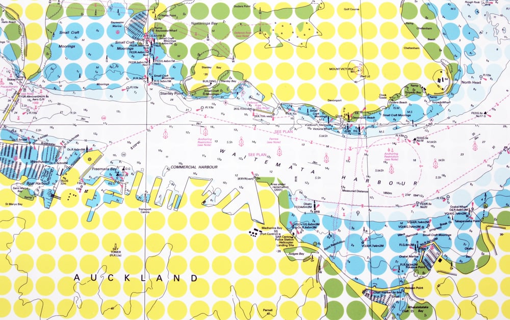
Auckland harbour including the North Shore from Tatarata Point to Devonport and round to Little Shoal Bay, as well as Auckland City from the CBD to St Heliers and Rangitoto Island.
The Details:
Your map comes in 840mm x 555mm, printed on quality thick 250gsm matt finish paper and is rolled up carefully in tissue paper for added protection and delivered securely in a durable tube. Which is also perfect for sending to someone as a gift!
The Delivery:
Your map will be dispatched within 3-7 working days of order being received, a signature for proof of delivery is required.
-
Pin it

